Silicon Valley
Quality & Professional Service
Christensen & Plouff land surveying provides the bay area and surrounding areas in California with the highest quality of professional land surveying services. We are a family owned land surveyor company with a Los Gatos county location. We work hard to be professional, personable, efficient, and competitive with our pricing, while not sacrificing quality.Inquire for a free land survey quote!Los Gatos Office
Address
Los Gatos, CA 95030
Phone
Hours
Not sure if our land surveying services are provided in your city?
Residential & Commercial Services
- Boundary Surveys
- Topographic Surveys
- Lot Line Surveys
- Construction Staking Surveys
Land Surveying Services
A.L.T.A. Surveys
A detailed land parcel map, showing all existing improvements of the property, utilities, and significant observations within the insured estate.
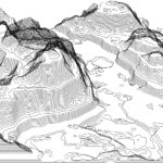
Topographic Map
A detailed record of a land area, giving geographic positions and elevations for both natural and man-made features.
Property Boundary Survey
A process that determines property lines and define true property corners of a parcel of land described in a deed.

Construction Staking
Staking out reference points and markers that will guide the construction of new structures such as roads or buildings.
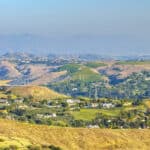
Elevation Certificates & LOMA Applications
Document needed if your property is or might be in a flood hazard zone as determined by FEMA.
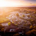
Easement
The right that provides its holder with a non-possessory interest on another person’s land.
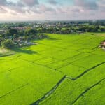
Land Subdivision
The act of dividing land into pieces that are easier to sell or otherwise develop, usually via a plat.
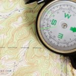
Mapping Services
General mapping needs & services pertaining to planimetric surveying and mapping.
